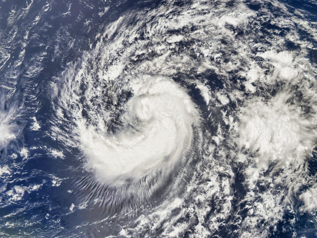
The storm developed over the Caribbean Sea.
Others are reading now
Tropical Storm Helene is rapidly intensifying and is expected to make landfall in Florida as a hurricane on Thursday, September 26.
Mandatory Evacuations
Meteorologists are warning of the potential for a “catastrophic and unsurvivable storm,” with waves predicted to reach heights of up to 20 feet (6 meters).
The storm, which developed over the Caribbean Sea, is currently moving through the Gulf of Mexico and gaining strength. In response, officials in Florida, Georgia, and the Carolinas have declared states of emergency, with many counties ordering mandatory evacuations.
Stores are seeing shelves stripped bare, gas stations are running out of fuel, and residents are boarding up their windows and building sandbag barriers. Schools and public buildings have also closed in anticipation of the storm.
Also read
Category 3 Hurricane
Meteorologists have emphasized that the impact of Helene could be particularly severe. The National Weather Service (NWS) stated,
“There is a danger of catastrophic and life-threatening storm surge for Apalachee Bay. The storm surge may begin as early as midday today, preceding the winds.” They warned of a grim scenario for the area, where flooding could reach up to 20 feet (6 meters) above ground level, accompanied by destructive waves.
Forecasts predict Helene will make landfall as a Category 3 hurricane, with winds potentially reaching 110 mph (177 km/h) at that time.
The hurricane warnings have been issued as far north as south-central Georgia, and Atlanta is preparing for impacts not seen in 35 years. Officials are also alerting residents that widespread power outages may occur due to the storm’s powerful winds moving inland.
Residents along the Yucatán Peninsula in Mexico have already experienced the storm’s force, while waves of up to 16 feet (5 meters) have struck the Cuban coastline.


