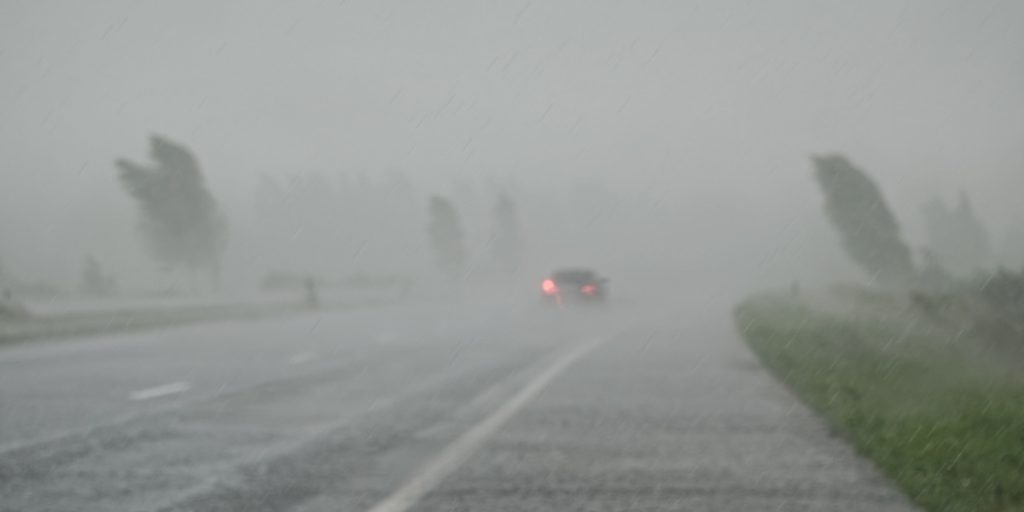
Hurricane Debby intensifies, threatening Florida with a triple threat of flooding rains, damaging winds, and storm surge as it approaches landfall.
Others are reading now
The Gulf of Mexico has given rise to Hurricane Debby, which has intensified and is now bearing down on Florida. The storm is expected to make landfall on Monday, bringing with it a trio of threats: torrential downpours, fierce winds, and coastal inundation.
Even before touching ground in Florida’s Big Bend area, Debby is unleashing its fury on the state. The situation is set to worsen, with meteorologists predicting up to two feet of rain in certain areas of Georgia and South Carolina by mid-week. This is reported by NWS.
Weather officials are sounding the alarm about potentially record-breaking rainfall in the southeastern parts of Georgia and South Carolina, cautioning that this deluge could trigger widespread flash floods and create life-threatening scenarios.
Also read
In response to the looming crisis, the chief executives of Florida, Georgia, and South Carolina have invoked emergency powers and are imploring residents to brace for Debby’s multi-faceted impact.
Florida’s governor, Ron DeSantis, emphasized the storm’s anticipated slow progression once it enters the state, contrasting it with Hurricane Idalia. He warned that this sluggish movement could result in extraordinary amounts of precipitation over north-central Florida.
As of now, Debby is churning in the eastern Gulf, just off Florida’s western shoreline. The storm’s effects are already evident, with coastal areas experiencing storm surges, gale-force winds, and significant flooding.
Post-landfall, Debby is projected to veer northeast, potentially unleashing historic rainfall and dangerous tidal surges on Georgia and the Carolinas.
Authorities have issued a range of weather advisories across the affected states, including hurricane warnings and flood watches. The most severe storm surge is anticipated along a stretch of Florida’s coast between two rivers, where waters could rise up to 10 feet above normal levels.


