 Kathrine Frich
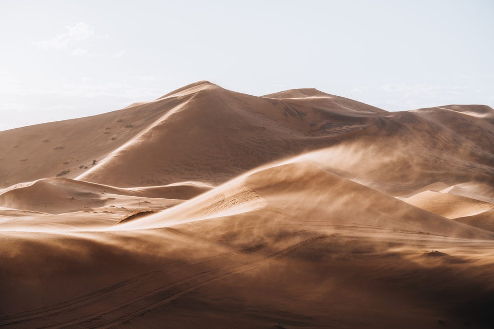
The ITCZ has moved about 240 kilometers further north than in previous years,
A rare weather event may bring rainfall to the Sahara Desert this weekend, a phenomenon that would surprise many given the region’s arid reputation.
240 Kilometers Further North Than Usual
This unusual occurrence is linked to changes in the Intertropical Convergence Zone (ITCZ), a band where northern and southern winds meet, often causing storms in tropical areas, according to 20minutos.
According to meteorologist Francisco Martín León, the ITCZ’s position is influenced by global land and water patterns, which can sometimes shift unexpectedly. Normally, this zone remains south of the Sahara, but recently, it has moved further north than usual, affecting parts of the desert.
Currently, North Africa is experiencing its rainy season due to the ITCZ’s upward shift. Countries like Mauritania, Mali, and Chad are already seeing increased rainfall. “The ITCZ has moved about 240 kilometers further north than in previous years,” says León, explaining the unusual conditions.
Creating Small Cyclonic Waves
The ITCZ’s movement is responsible for drawing moist winds further north, creating small cyclonic waves that increase the chance of rain in typically dry areas. However, while this shift is rare, León emphasizes that it’s not directly related to climate change.
Initially, forecasters anticipated heavier rainfall in the Sahara, but recent models suggest the rains will be less intense than originally thought.
“It’s going to rain, but not as much as expected,” León notes.
For a region that typically receives less than 150 liters of rain per square meter annually, even small amounts — around 10 to 15 liters — are significant.